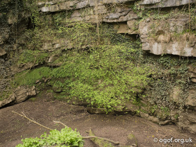
L:20
V:
Lower Daw Pit, Lower Daw Pit Sink
NGR: SS 5750 8909
30 m.asl
Swansea , Gower

Brendan Marris
2016
Cambrian Cave Registry entry 1134
 L:20 V: |
Lower Daw Pit, Lower Daw Pit Sink NGR: SS 5750 8909 30 m.asl Swansea , Gower |
map using leaflet map: | |||
| Sink | Doline | ||||
| Access | |||||
| Description | |||||
| History | |||||
| Hydrology | |||||
| Conservation | SSSI: 1036 Pwll-du Head and Bishopston Valley (Mixed/M) | ||||
| Gallery | |||||
 Brendan Marris 2016 | |||||
| Survey | |||||
| References | |||||
| Search for further records | Browse registry map | ||||
Cambrian Cave Registry entry 1134 |
© Cambrian Caving Council ⓗ | ||||