Merthyr Tydfil
, Northern Outcrop - East (Morlais to Abergavenny)
map using leaflet map:
Rising
Cave
Access
Walk up the river bank for about 0.5 miles from Aberglais Bridge.
Description
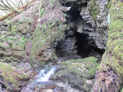
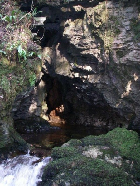
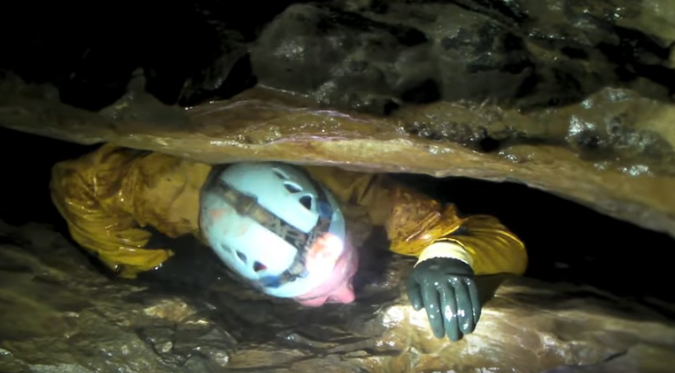
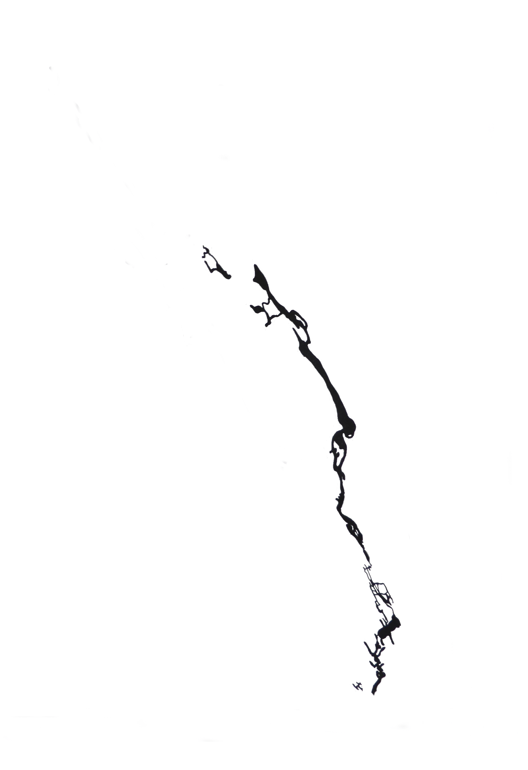
The entrance leads to a large passage which contains an active stream. This passage leads in to the main chamber and then to New Chamber. A small passage at the end of New Chamber leads to about 210m of bedding plane cave which then gives way to the main cave beyond a tight rift. The system contains a strong draught.
Liable to Flood.
Jones, Theophilus, A History of the County of Brecknock, v2, p.626 (1809) "... a cavern called Ogof Rhyd sych or Dryford cavern; this hollow in the lime rock receives a spring from above, which sinks into the ground and then enters the cave, from whence it issues in a small rill in times of flood when it flows over it and forms a cascade..."
Morgan, William (1893). The Vaynor Handbook, pp.10-11: "On the east side of this rock forming the ravine, there is a spacious natiral cavern called the Dry Ford Cave. This natural hollow in the limestone rocks receives a spring which issues forth to the river, and in times of flood, overflows and forms a cascade. No visitor to Vaynor, who can afford th time, should fail to visit this remarkable spot. "
British Caver 21, 1950
Cullingford,C.H.D. (1951), Exploring Caves, p.70
Journal Spel. Sub. Sec. BNS, 1959
Cave Sump Index, South Wales, Davies, M. , Dec. 1966
Western Mail, August 29 (1967), Cavers near river after long crawl: ROARING CAN BE HEARD
SWCC Newsletter 57, 323. Further Extensions
The Speleologist, 2, (13), 22. Report of further extensions and survey.
Cwmbran CC Journal, 1 (1), Dec. 1967
GSS nl Sep 1968, pp.2-4
Cwmbran CC Journal, 1 (4), Mar. 1969.
Cambrian CC Journal, Red Dragon, 4, 1978. Mary E.Gillham, The Nant Glais Nature Reserve Report [Glamorgan Naturalists' Trust]
WSG Bull 7(2), 27-28
Belfry Bulletin, 397, pp.9-10. May 1981, Graham Wilton-Jones
 records