L:1705
V:80
Llanelly Quarry Pot, Llanelly Quarry Pothole
NGR: SO 22468 12408
270 m.asl
Monmouthshire , Northern Outcrop - East (Morlais to Abergavenny)

Brendan Marris
2010
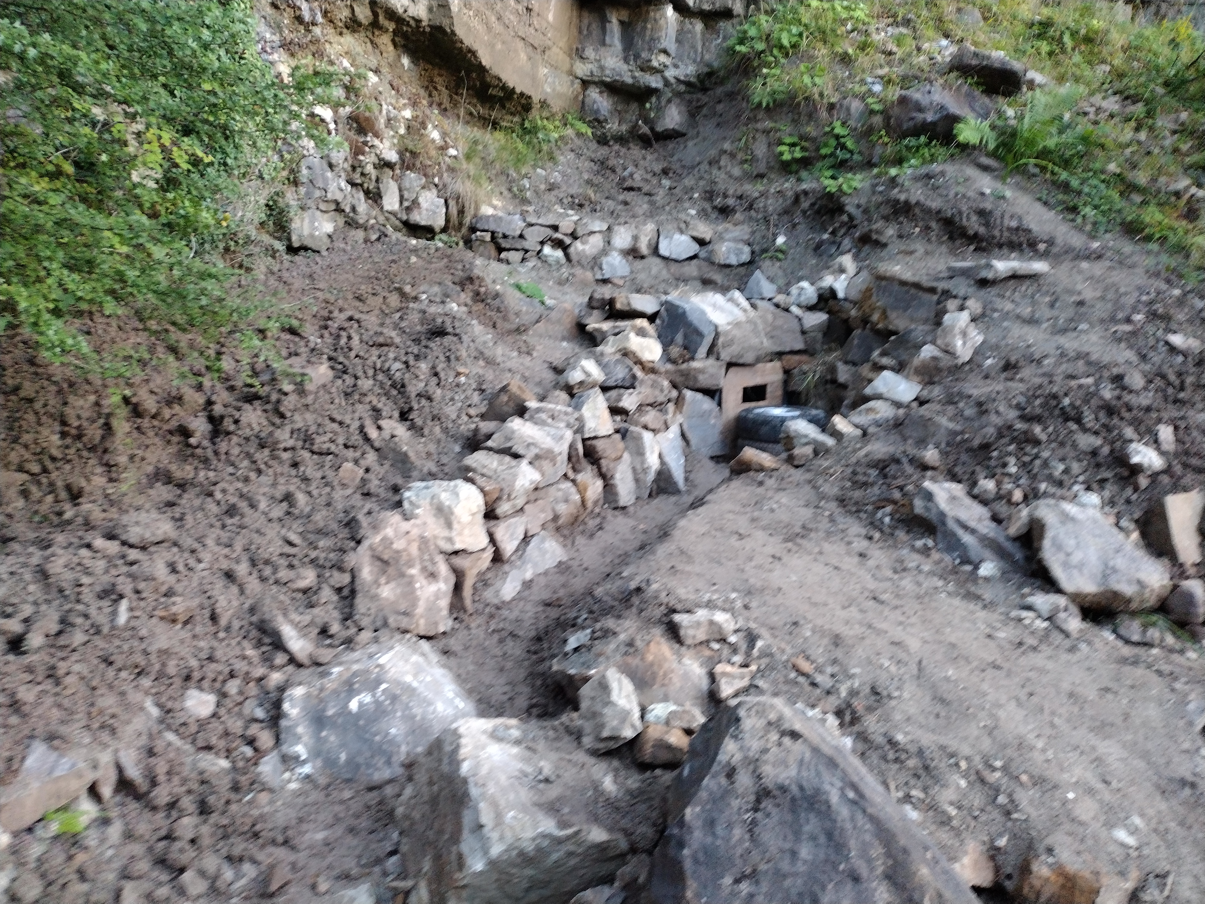
Huw Jones/BCC
2025
New piped entrance work
Cambrian Cave Registry entry 849
|
L:1705 V:80 |
Llanelly Quarry Pot, Llanelly Quarry Pothole NGR: SO 22468 12408 270 m.asl Monmouthshire , Northern Outcrop - East (Morlais to Abergavenny) |
map using leaflet map: | |||
| Active | Pothole | ||||
| Access | |||||
| Description | |||||
| History | |||||
| Hydrology | Pitch drops into active streamway to Shakespeare's Cave | ||||
| Conservation | SSSI: 0381 Cwm Clydach (Mixed) | ||||
| Gallery | |||||
|
Brendan Marris 2010 |
Huw Jones/BCC 2025 New piped entrance work | Pitch drops into active streamway to Shakespeare's Cave
Midsummer Nights Dream inlet
Blue Sump
||||
| Survey | |||||
| References | |||||
| Search for further records | Browse registry map | ||||
Cambrian Cave Registry entry 849 |
Comment? Email registrar@cambriancavingcouncil.org.uk | © Caving Wales ⓗ Ogofa Cymru | |||