CLICK IMAGE TO ENLARGE
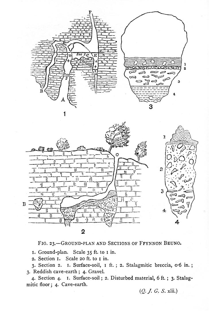
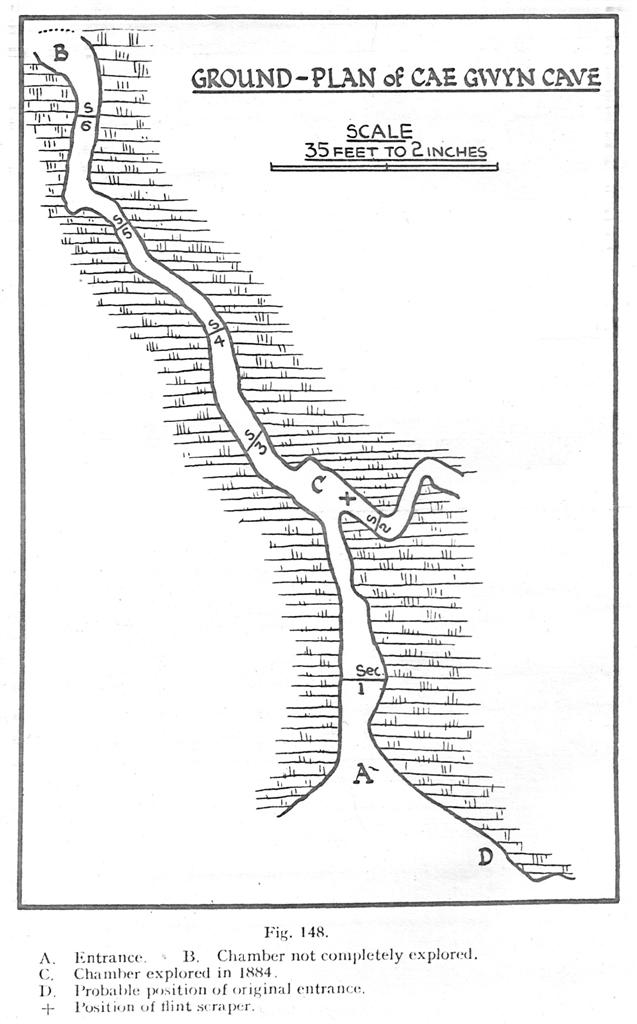
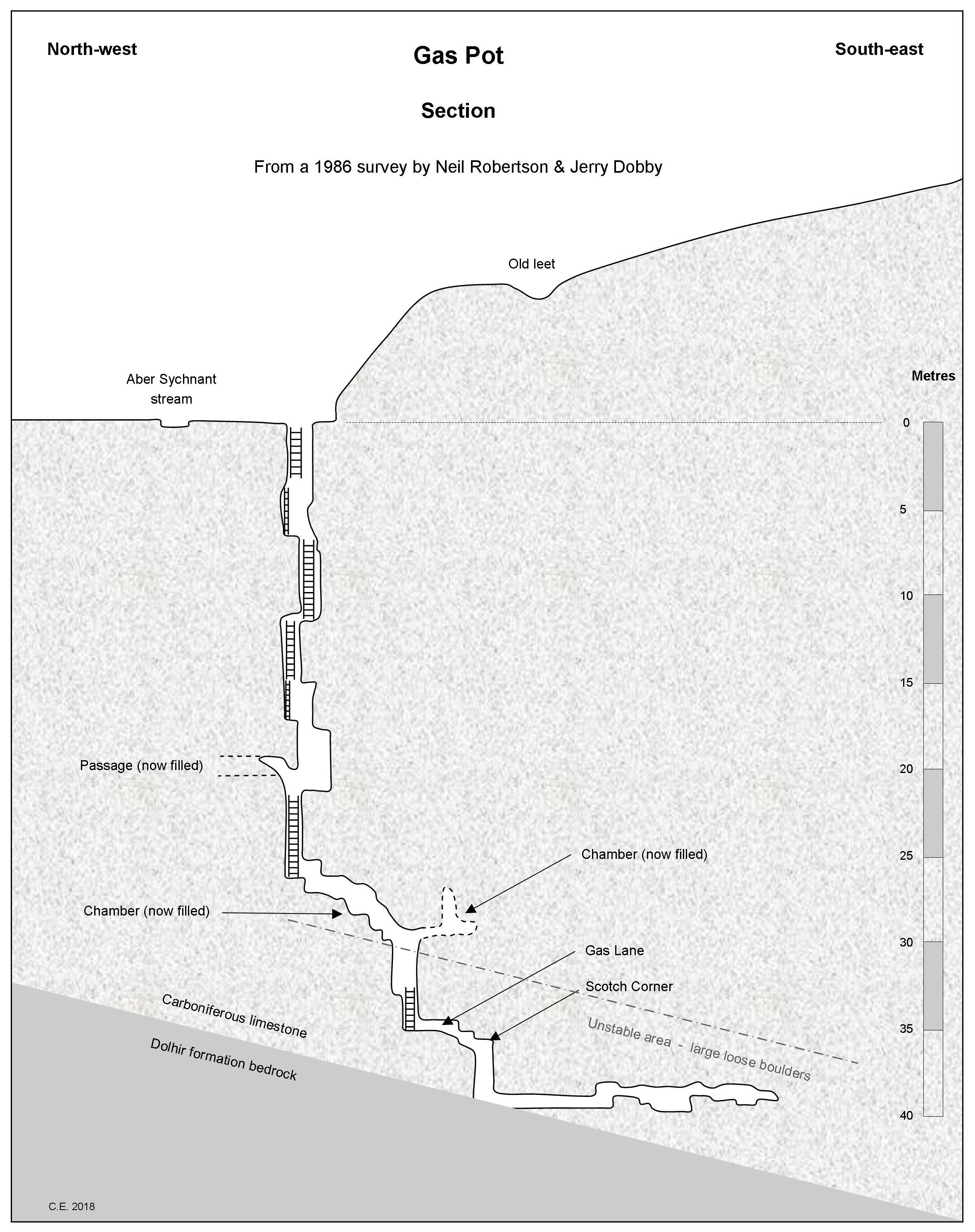
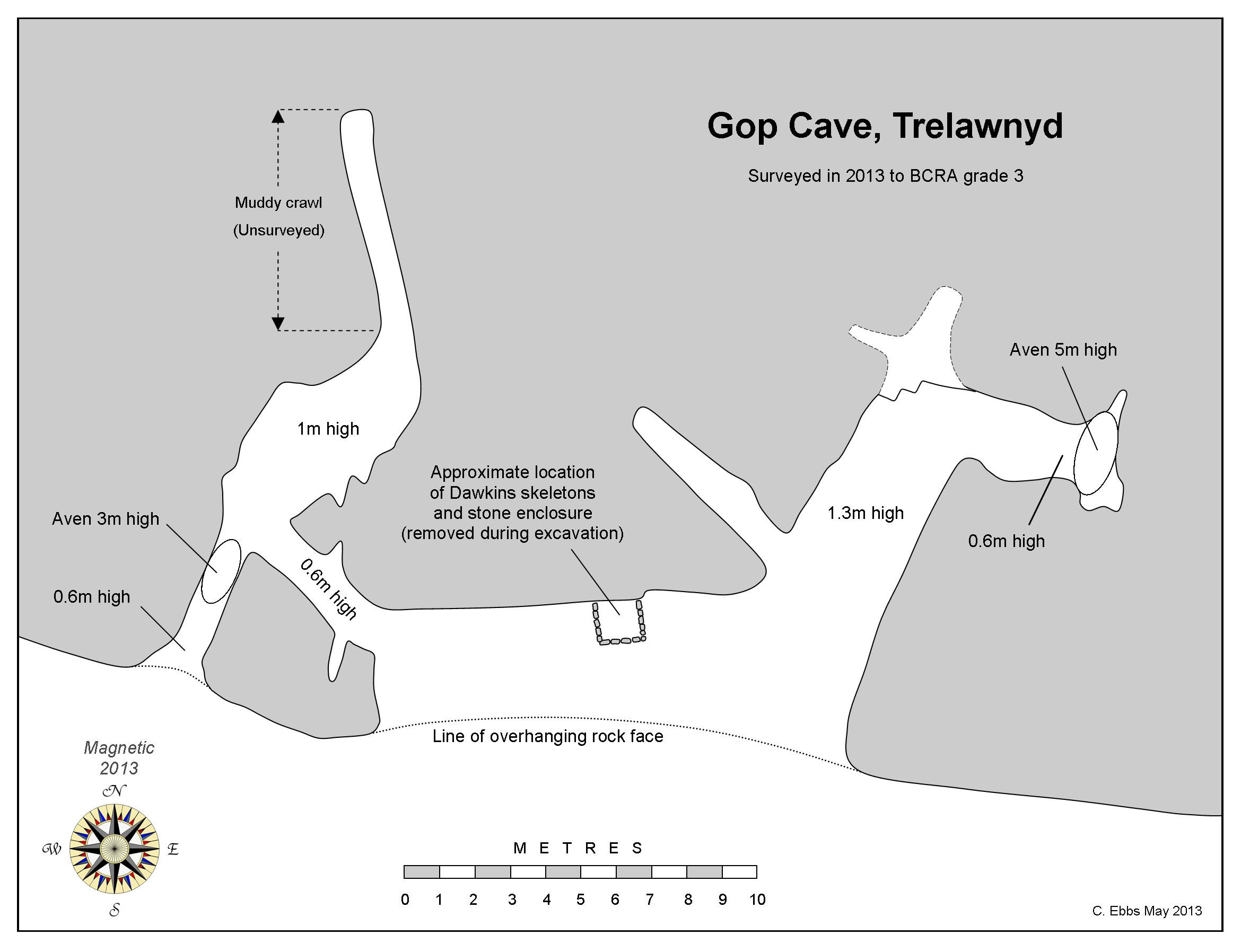
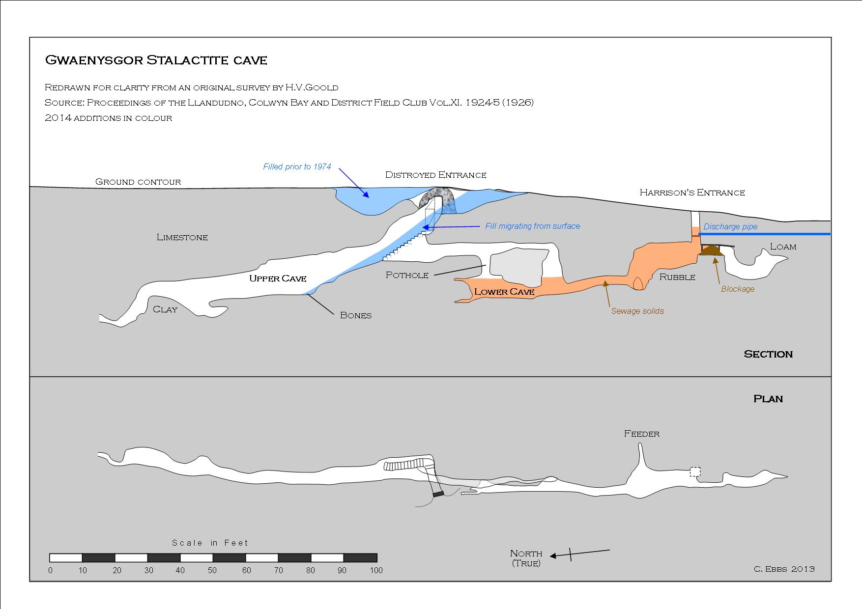
Survey redrawn for clarity, from the original 1911 survey by Goold
A
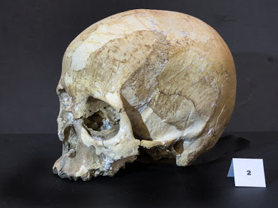
badly neglected Palaeolithic cave providing evidence of use by humans (human bone, flints and
charcoal), together with animal remains at least 12,000 years of age.
Following confusion and poor research by
Clwyd Powys
Archaeological Trust (CPAT)
, they invented the fictitious name of Gop Farm Cave
. It should be noted however, that no cave of this name exists. There are just two caves hereabouts: Gop Cave and Gwaenysgor Cave (or Gwaenysgor Stalactite Cave, as it was originally called, before the formations were removed.)
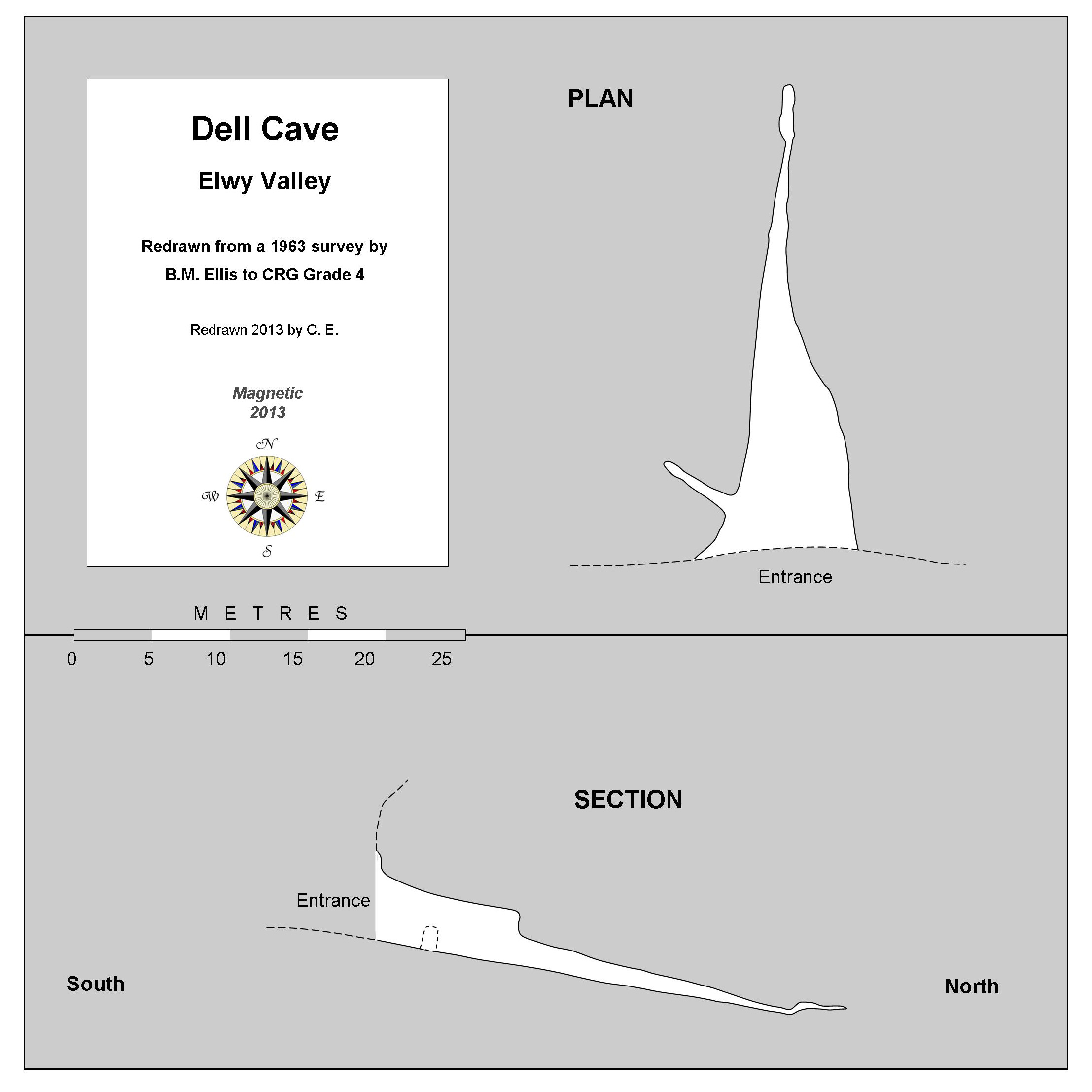
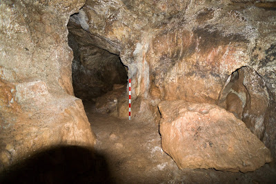
Cave description
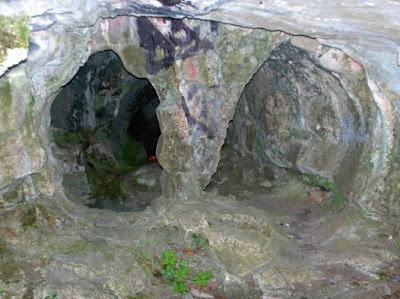
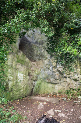
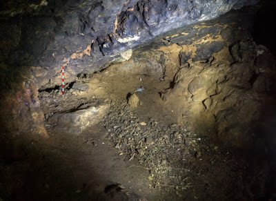
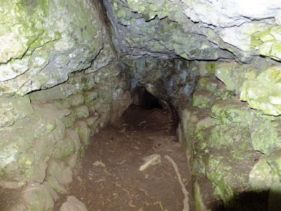
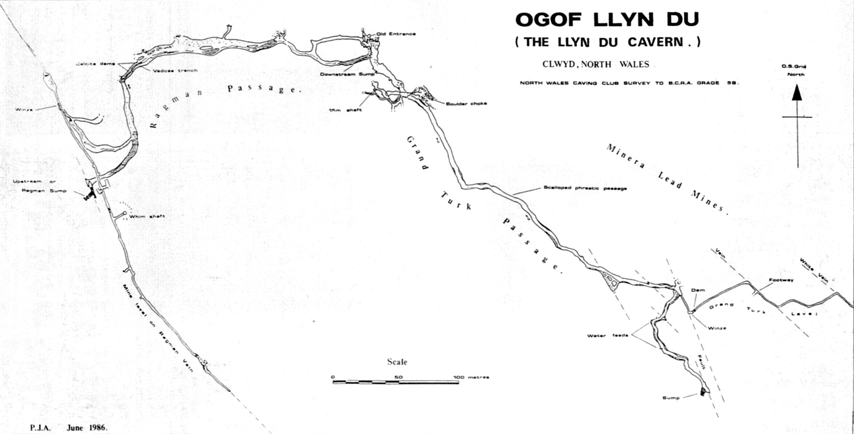
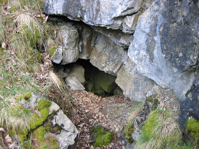
Lower Cave
:
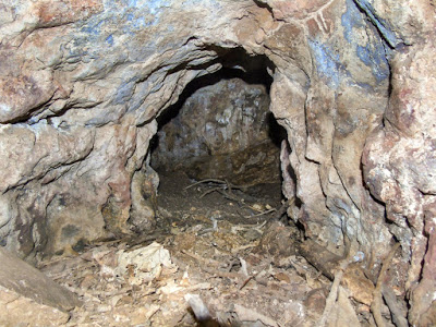
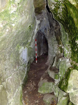
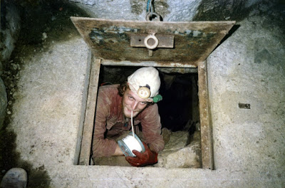
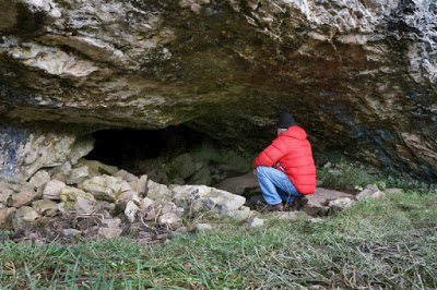
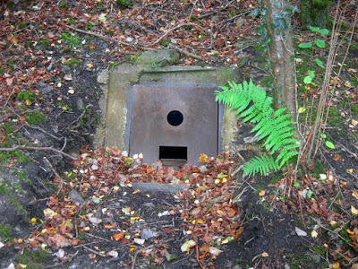
'Harrison's
Entrance' (after the miner who discovered it in 1885) was a shallow
shaft which happened to break into a cave where bones were found in a
roomy chamber, originally called the 'Lower Cave'. The entrance shaft
(originally 4m from surface to floor of chamber) currently has a
triangular cast-iron inspection cover fitted into a concrete cap, below
which a fixed ladder gave access to the chamber. Unfortunately this half of the cave has been used as a septic tank by Welsh Water for the last 40 years and is now filled.
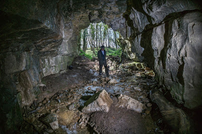
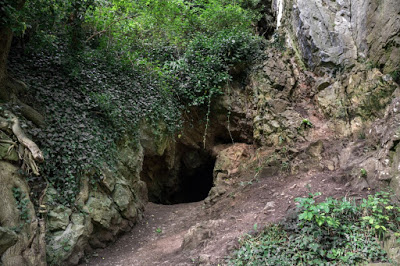
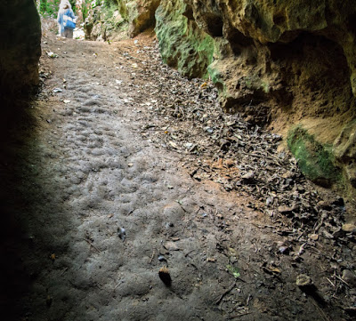
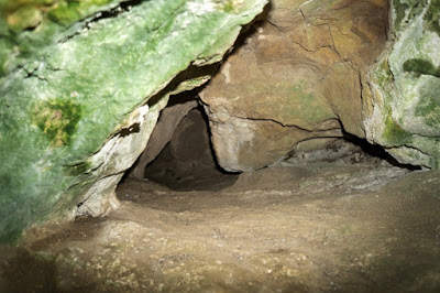
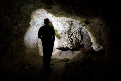
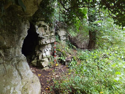
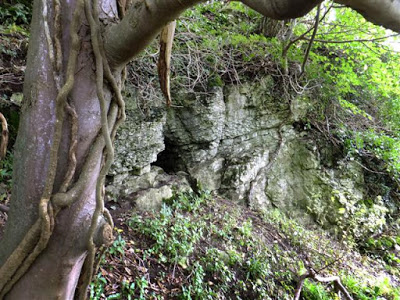
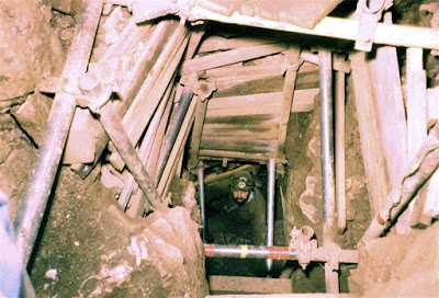
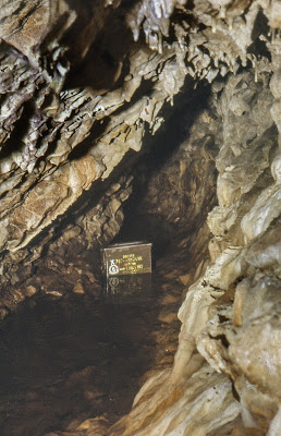
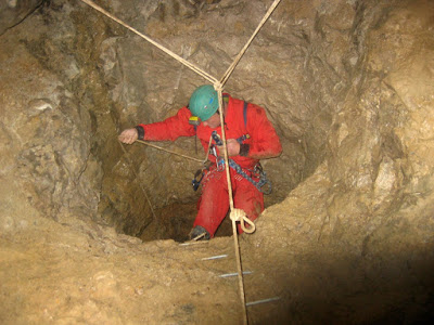
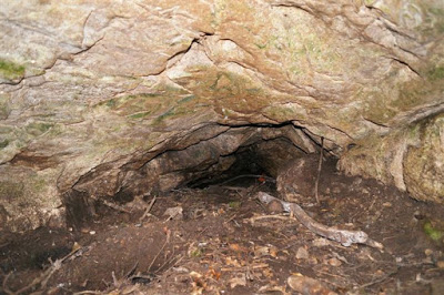
Upper Cave
:
Harrison
found a route leading upwards from the Lower Cave along a narrow
passage leading to the discovery of the ‘Upper Cave’. This was later opened to
surface creating a second entrance (Goold 1926). Although this half of the cave has not been subject to infilling with sewage, it is no longer a pleasant place to visit (see Recent Update below).
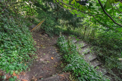
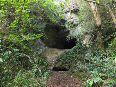
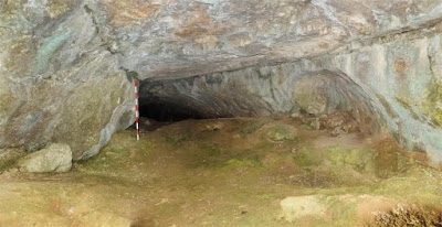
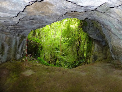
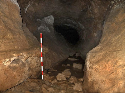
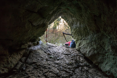
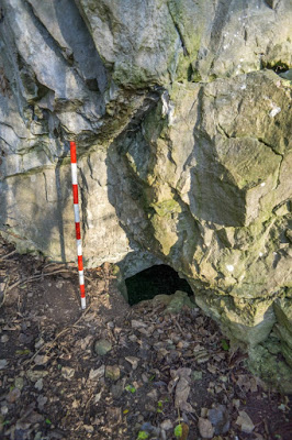
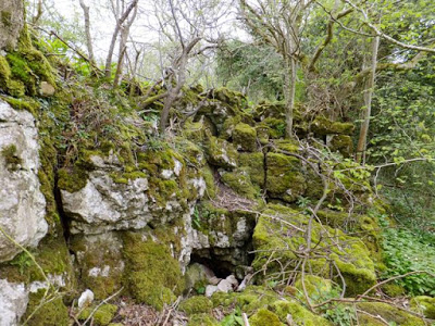
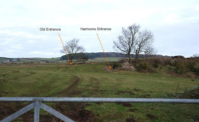
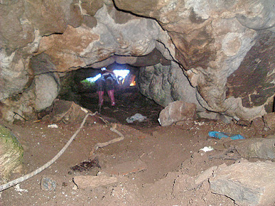
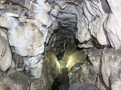
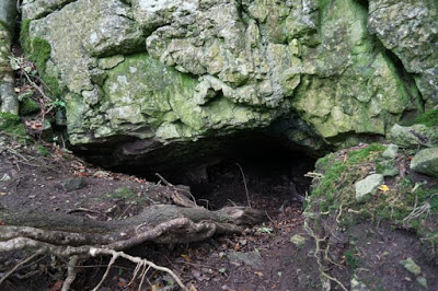
The entrance lies about 25 metres to the north (of
Harrison’s shaft) where a steep slope down provides access to a 25m long
chamber. At the north end of this chamber is a 15 - 20m excavated
crawl. Near the base of the entrance slope is the connecting crawl
against the west wall (usually obscured by debris migrating from the entrance slope) running
southwards back to the Lower Cave. This is 14m long with a 3m vertical
descent near the end (shown as 'pothole' on the survey above).
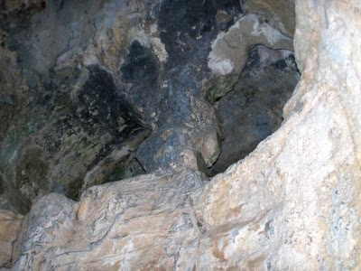
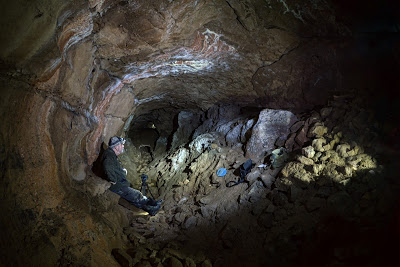
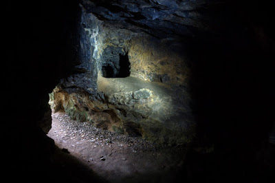
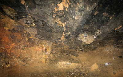
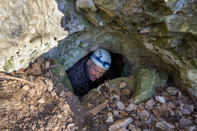
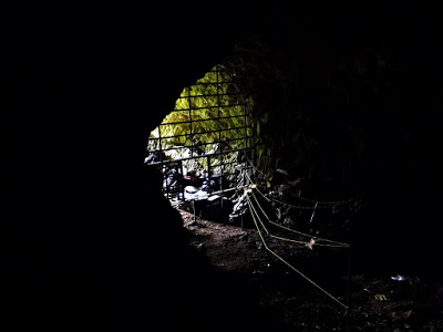
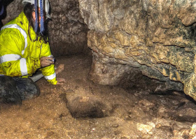
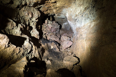
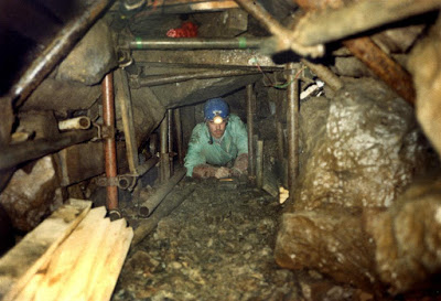
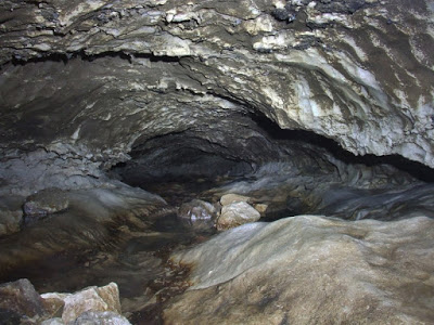
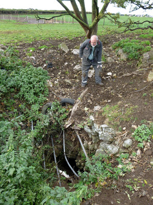
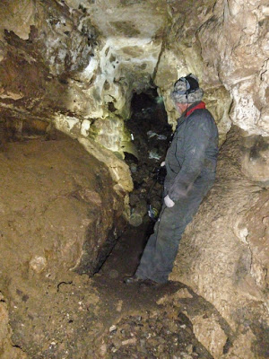
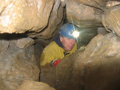
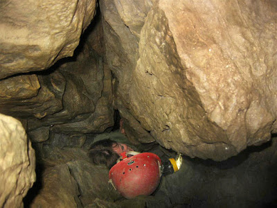
Recent update
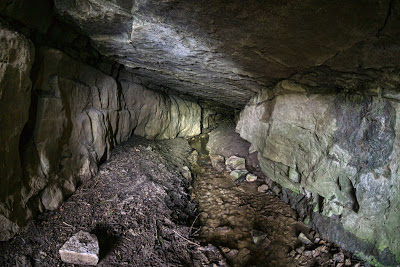
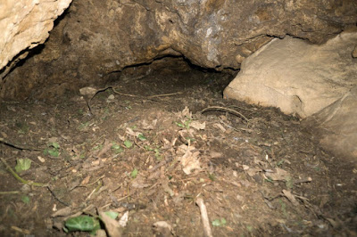
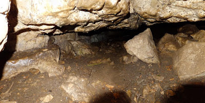
The Upper Cave was examined by the writer in 2015 when it was found to have deteriorated since his last visit 20 or 30 years ago: Although the cave was previously well drained having dry floor deposits, it appears that the lowest part of the cave now floods during wet periods, to a depth of about 2 metres at the lowest point in the cave. Although no water was visible on this visit, a 20cm deep layer of soft, almost liquid, dark grey mud was found near the northern end of the cave, and flood levels are suggested by detritus adhering to the walls. There is a possible explanation to the source of this contamination: Not only did Welsh Water lay their sewerage overflow pipe into the Lower cave in the 1960s, but Clwyd County Council's Highways Department also laid a drainage pipe from the nearby road to prevent highway flooding, also in the 1960s. This entered the Lower Cave a few feet above the height of the sewerage pipe, but on the west side of the now-filled Harrison's Shaft.
Although Welsh Water claim that all sewage discharge has now (2014) ceased, flood water from the road is continuing to enter the Upper Cave. It is therefore likely that this water now seeps through the filled Lower Cave on its way to the Upper Cave (see survey above), hence the grey mud deposit. This is a great shame and could, in time, result in the loss of the remaining half of Gwaenysgor Cave. As the Upper Cave is now an unpleasant place to be, coupled with the fact that so much work would be required to prepare the cave for any archaeological work (by removing the large amount of earth and debris filling the entrance slope), it is probably the end for Gwaenysgor Cave as an archaeological site. A testament to 40 years of professional neglect.
Access: Consent to visit the cave should be sought from Gop Farm
"A Brief History of Gwaenysgor Cave"
(Jan 2015)
by Cris Ebbs
is available as a PDF at the very bottom of this page.
It includes the original 1911 Goold survey.
Brief history
The cave was first discovered in
1885
by mine captain George Harrison, a prospecting mining engineer. In
search of ore he excavated a shaft which after a few feet, happened to
break into a cave where many animal bones were found in a roomy chamber.
Between 1885 and1910
several excavations were carried out, when '
several bushels of bones
' were found, but no records of the work or the bones are known to exist.
The mining prospector eventually filled Harrison's shaft, but “
After his death the cave fell into the hands of two local people and was made into a show place
(around
1910
),
but later fell into ruin
".
A stone 'igloo' existed over the Upper Cave entrance in
1920
. A photograph of this can be seen online at: http://www.flickr.com/photos/81944984@N02/8020040900/lightbox/
The cave was then excavated in
1929
by Dr. J. Wilfrid Jackson (Manchester Museum) and the Dyserth & District Field Club,
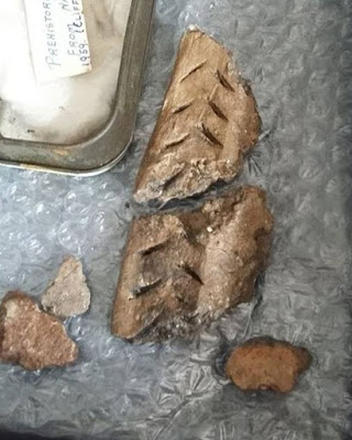
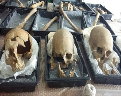
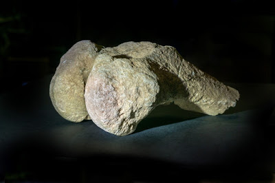
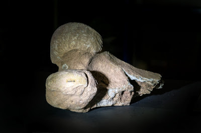
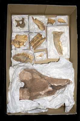
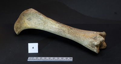
assisted by Professor Boswell and Mr E. Montag F.G.S.. They found remains of “
Bison Reindeer and human beings in the re-excavated debris filling Harrisons shaft
”
. CPAT claims that these could be remains from the nearby Gop Cave, thrown into a shaft
at Gop Farm around the time it was filled (CPATs report 980, 2009).
This however, in no way negates the importance of Gwaenysgor Cave as a
rare archaeological site, as Goold states: “
In
the lower cave, embedded in boulder clay, and lying in the entrance to
the feeder marked on the plan, the writer found teeth and bones of
Woolly Rhinoceros, Hyena, Wolf, bear, Boar, Deer and Elk”
.
The article adds that
“Two
unworked flakes of flint were also found inside the cave, as well as
charcoal. Round about 1911 Mr Goold had the good fortune to find a
number of bones at a point a little way from the foot of Harrisons
shaft”.
These bones were identified by Dr J. Wilfrid Jackson as woolly rhino, cave hyaena, wild boar and great Irish deer.
NB: Dr. J. Wilfrid Jackson has been described as "
Britain's leading cave prehistorian from the 1920s to 1960s
" ('The Cave Hunters' edited by M.J. Bishop).
Professional inaction
All
North Wales' professional archaeological bodies ignored the pollution
that was destroying the 'lower cave' below Harrison's Entrance. It was
first brought to the attention of archaeologists by Valdemar & Jones
in 1970. In 1979, an officer of CPAT was told of the problem by the
landowner during a site visit (CPAT site visit record
PRN 102239
),
but no attempt was made to inspect the underground damage below Harrisons Entrance.
Archaeologists from Clwyd County Council also visited the cave in 1979: Examining the wrong entrance, their 'Site visit form' states: "We saw no obvious signs of this (pollution).
It may well have seeped away. It is a threat for urgent action". This last advice however, was ignored and the problem allowed to continue unabated.
In
the 1980s this writer raised the issue with Welsh Water, CADW, CPAT,
The National Museum of Wales, the Environment Agency and Clwyd County Council, but none were
willing to act.
CPAT
made official visits to the cave, not only in 1979, but also in 1988, 1993 and 2009, but on
all occasions the 'Lower Cave' below Harrison's Entrance
was not explored internally
.
The damage could have been minimised
by designating the site a Scheduled Ancient Monument (as the cave was clearly under threat)
if CPAT or Cadw had taken the matter seriously rather than simply relying upon unacceptably poor field reports.
Even the Environment Agency were reluctant to take any notice of the threat to the cave over a period of many years: At one point (in 2010) they wrongly stated that the sewage pipe was nothing to do with Welsh Water. Requests for specific information were ignored. Only when Freedom of Information Requests were raised, did they finally agree to a site meeting with Welsh Water in 2014, when the matter of sewage discharge was settled by an assurance by Welsh Water that all discharge had now ceased and that they would not re-direct their pipe into the Upper Cave (by which time the Lower Cave was already completely filled and their pipe blocked).
References
(in chronological order)
Anon.
(1913). "Gwaenysgor Church and Cave, and the Gop".
Proceedings of the Llandudno, Colwyn Bay and District
Field
Club. For years 1910-11.
Glenn,
T.A.. (1913). "Distribution of Neolithic Implements in
Northern Flintshire". Archaeologia Cambrensis.
Goold,
H.V. (1913). "The Gwaenysgor Bone Cave".
Northern Flintshire, Vol 1. Pages 71-75.
Anon.
(1925). "Gwaenysgor and the Gop". Proceedings of
the Dyserth & District Field Club. For 1924.
Davies,
E. (1925). "Hut circles and ossiferous cave on Gop Farm,
Gwaunysgor, Flintshire" Archaeologia Cambrensis.
Goold,
H.V. (1926). "Gwaenysgor Stalactite Caves".
Proceedings of the Llandudno, Colwyn Bay and District Field Club
. For
years 1924-25.
Jackson,
J.W. (1929). "Some Caves and the Club's Cave at
Gwaenysgor". Proc. of the Dyserth & District Field Club.
Jackson,
J.W. (1931).
"Visit to the Club's Cave at Gwaenysgor"
Proceedings of the Dyserth & District Field Club. For
1930.
Jackson,
J.W. (1933). "Visit to Cefn and Other Local Caves".
Proceedings of the Dyserth & District Field Club. For 1932.
Anon.
(c.1937). British Speleological Association record card (for
Manchester Museum). Now held by Buxton Museum,
Derbyshire.
Suggests that the extinct animal bones belonged to the Jackson
collection at Manchester Museum.
Jackson,
J.W. (1939). Personal letter (listing animal remains from various
caves) to Lionel Cowley of the National Mu
seum,
Cardiff. Now held at Buxton Museum, Derbyshire.
Neaverson,
E. (1942).
"
A
Summary of the Records of Pliestocene and Postglacial Mammalia from
North Wales and Merseyside
".
Proceedings of the Liverpool Geological Society.
Wild,
P. (1946).
British
Caver. Survey only, based upon Goold's survey.
Jackson,
J.W. (1946-47). "The Upper Pliestocene Fauna and its
Relation to the Ice Age". Proceedings of the Liverpool
Geological
Society.
Davies,
E. (1949). "Prehistoric
and Roman Remains of Flintshire".
Jackson,
J. W. (1953) "Archaeology
& Palaeontology", in
'British Caving' edited by C.H.D. Cullingford.
Stride,
A.H. & Stride, R.D.. (1953) "Britain Underground".
Jenkins,
D.W. and Ann Mason Williams (1963 and 1967) "Caves in
Wales and the Marches".
Bishop,
M.J. ed. (1982) "The Cave Hunters: Biographical Sketches
of the lives of Sir William Boyd Dawkins and Dr. J.
Wilfrid
Jackson" by Derbyshire Museum Service. ISBN 0 906753 02 3.
Hankinson,
R. and Silvester, R.J. (2009) "Caves: The Scheduling
Enhancement Programme" Report 980, by Clwyd
Powys
Archaeological Trust.
Dinnis,
R. & Ebbs, C. (2013)
"Cave deposits of North Wales: some comments on their archaeological
importance and an inventory of sites of potential interest".
Cave
and Karst Science
40
:
28-34.
Ebbs, C. (2015) "A Brief History of Gwaenysgor Cave near Prestatyn". Unpublished, but as mentioned above, this is available as a free PDF download at the very bottom of this page.
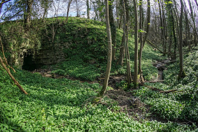
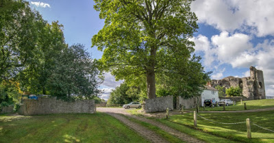
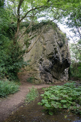
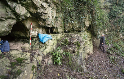
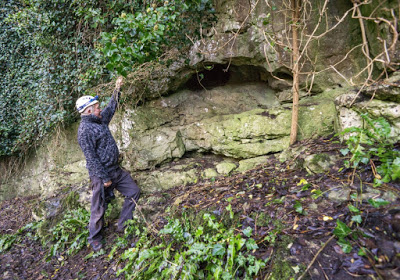
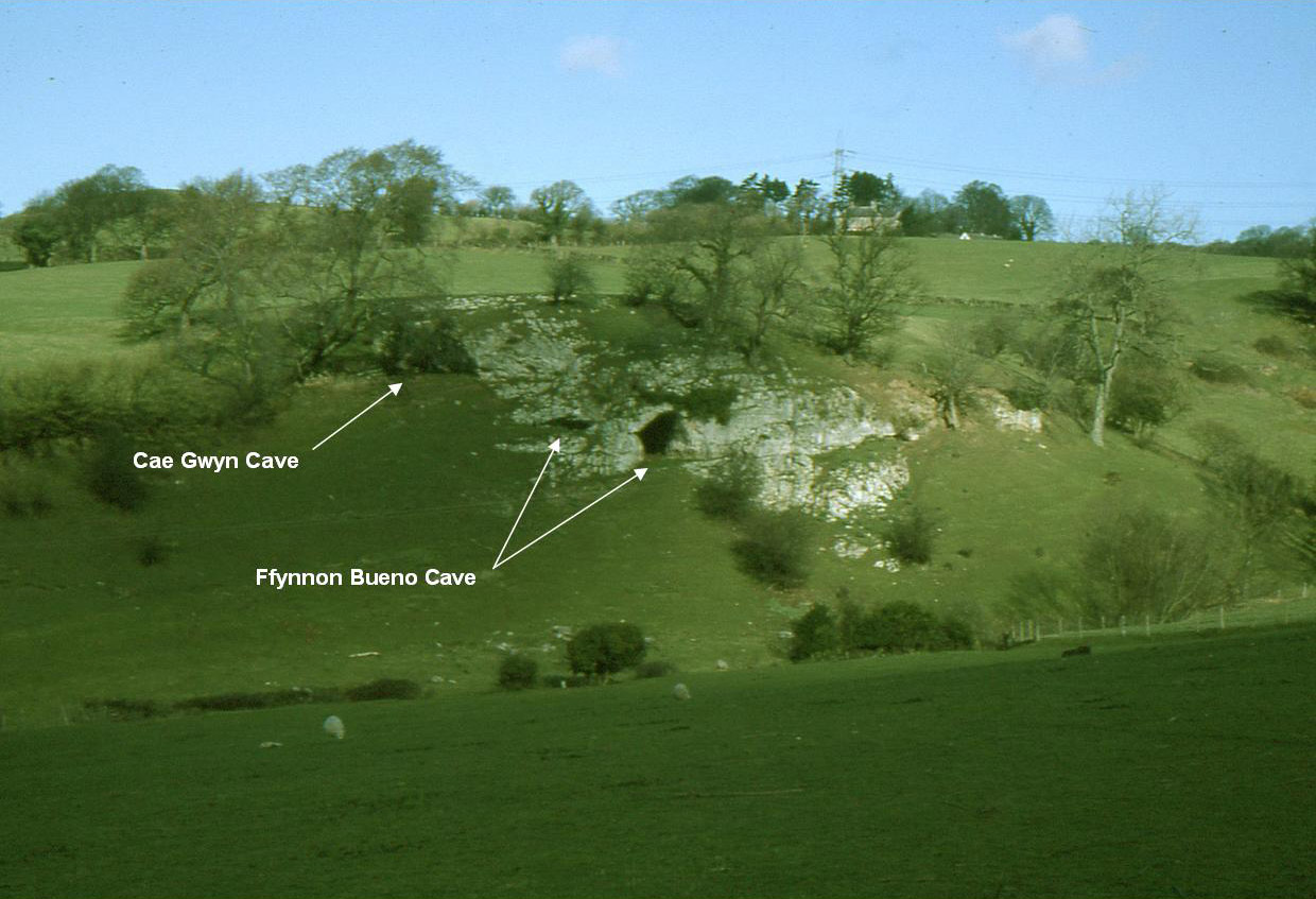
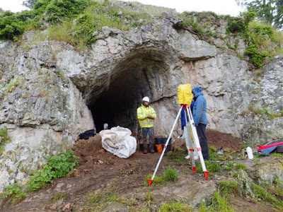
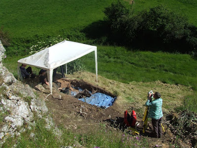
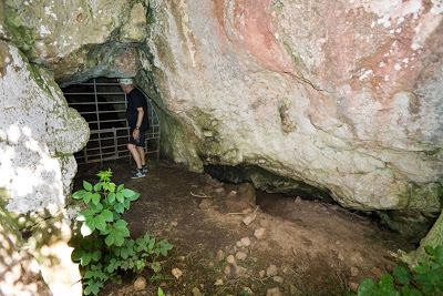
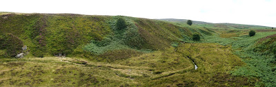
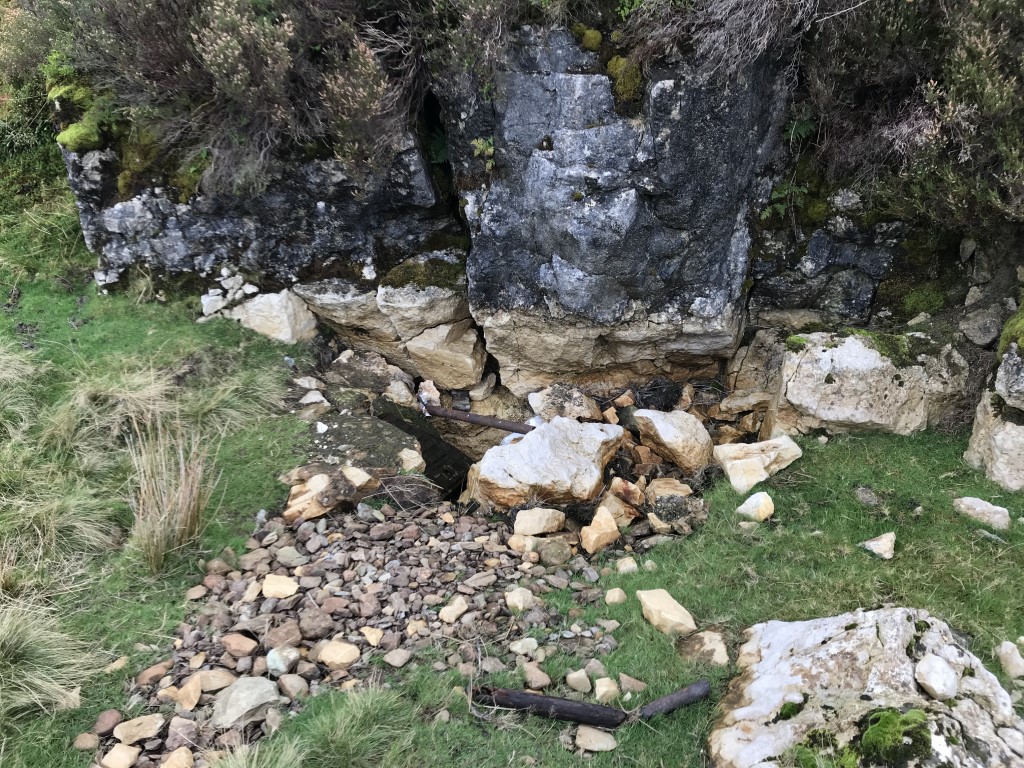
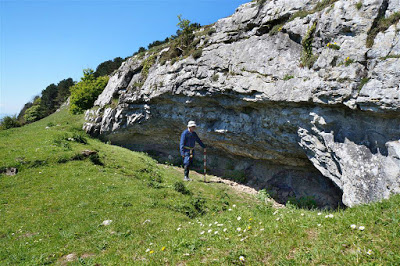
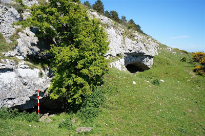
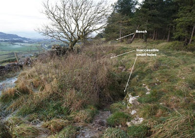
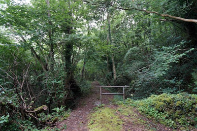
Location of the two entrances, viewed from the gate at the small sewerage pumping station